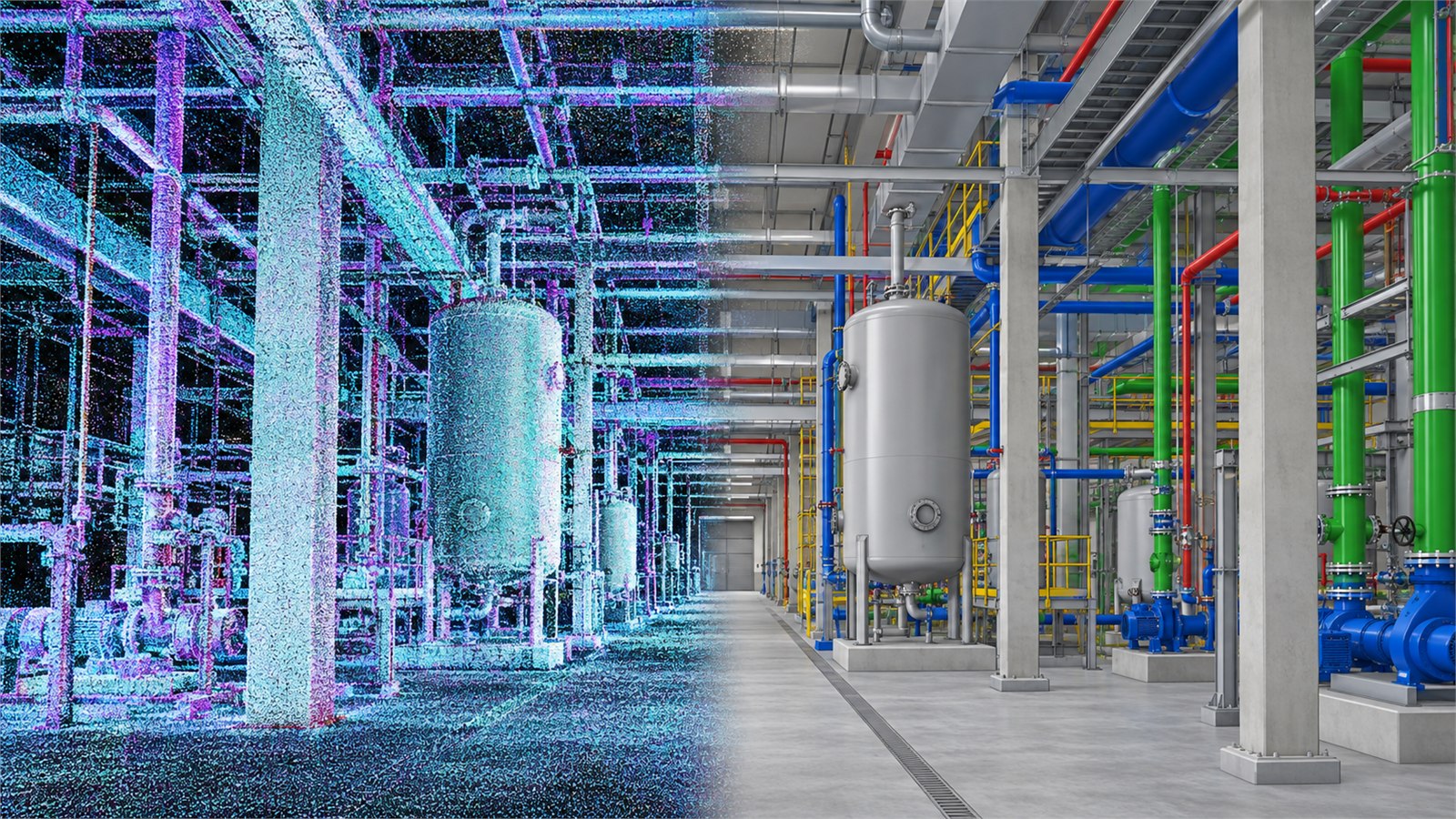
Service overview
What this service covers
We develop project documentation from client- or survey-partner-supplied registered point-cloud data, with scope and model detail agreed around the intended renovation, coordination, or record use.
Working scope
Built around your project requirements
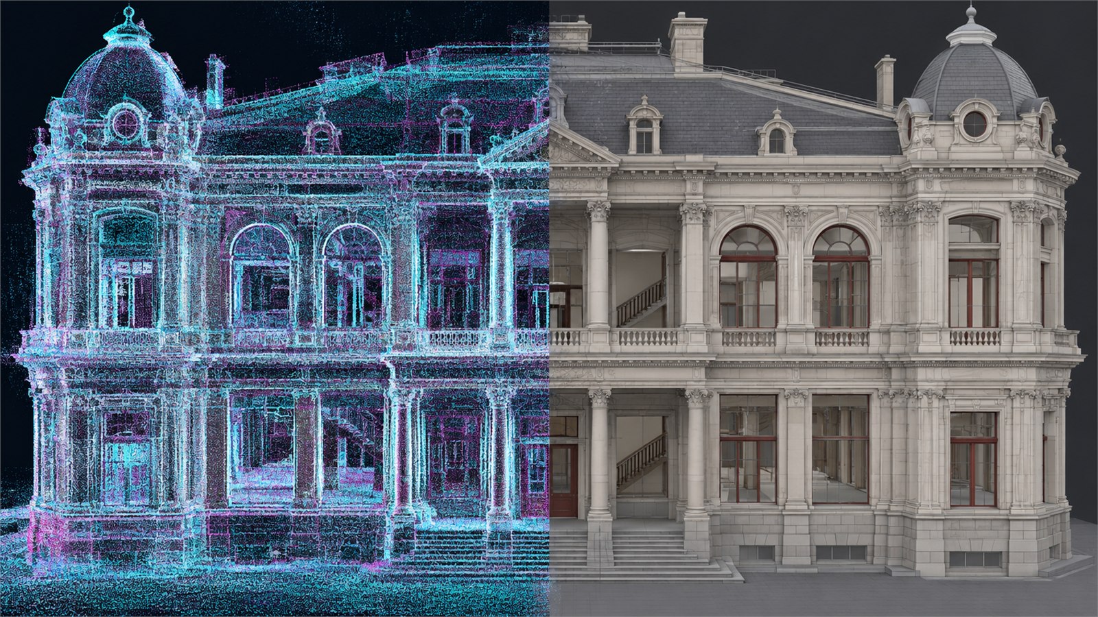
Convert registered scan data into measurable CAD drawings, BIM models, and existing-condition records.
Outputs
Typical deliverables
- Existing floor plans, elevations, and sections
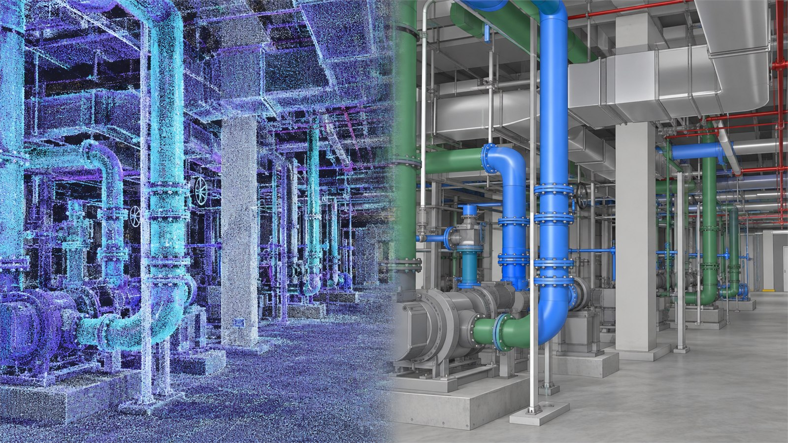
- Architectural and MEP as-built models
- Equipment and building-service location records
- Point-cloud-to-model alignment review
- Clearance and visible-condition documentation
Delivery method
How the work is delivered
- 1. Data CheckReview registration, coverage, density, coordinates, units, and target outputs.
- 2. Model SetupLink the supplied scan data and establish levels, grids, and working references.
- 3. Trace and ModelDevelop the agreed drawings or model elements from visible scan information.
- 4. Quality ReviewCheck sampled dimensions, document limitations, and issue the agreed files.
Project imagery
Detailed views
Questions
Frequently asked questions
Does this service include on-site laser scanning?
The published scope begins with registered point-cloud data supplied by the client or an approved survey partner. Any survey or scanning arrangement must be quoted separately.
Can every hidden condition be modeled from a scan?
No. The model reflects visible, captured information and the agreed interpretation rules; concealed or missing areas require separate verified inputs.